

01
Spatial
Define space.
Turn positions, coordinates and spatial data into a common spatial address.

SPATIAL INTELLIGENCE PLATFORM
Connect CAD, point clouds, positioning, and sensor data through a common spatial address. Bridging the physical world and AI through Spatial Intelligence.
About MIRGRIDWHAT IS MIRGRID?
Connect every kind of spatial data through one common spatial address, so AI, people and robots can use the same world.



SPATIAL INTELLIGENCE
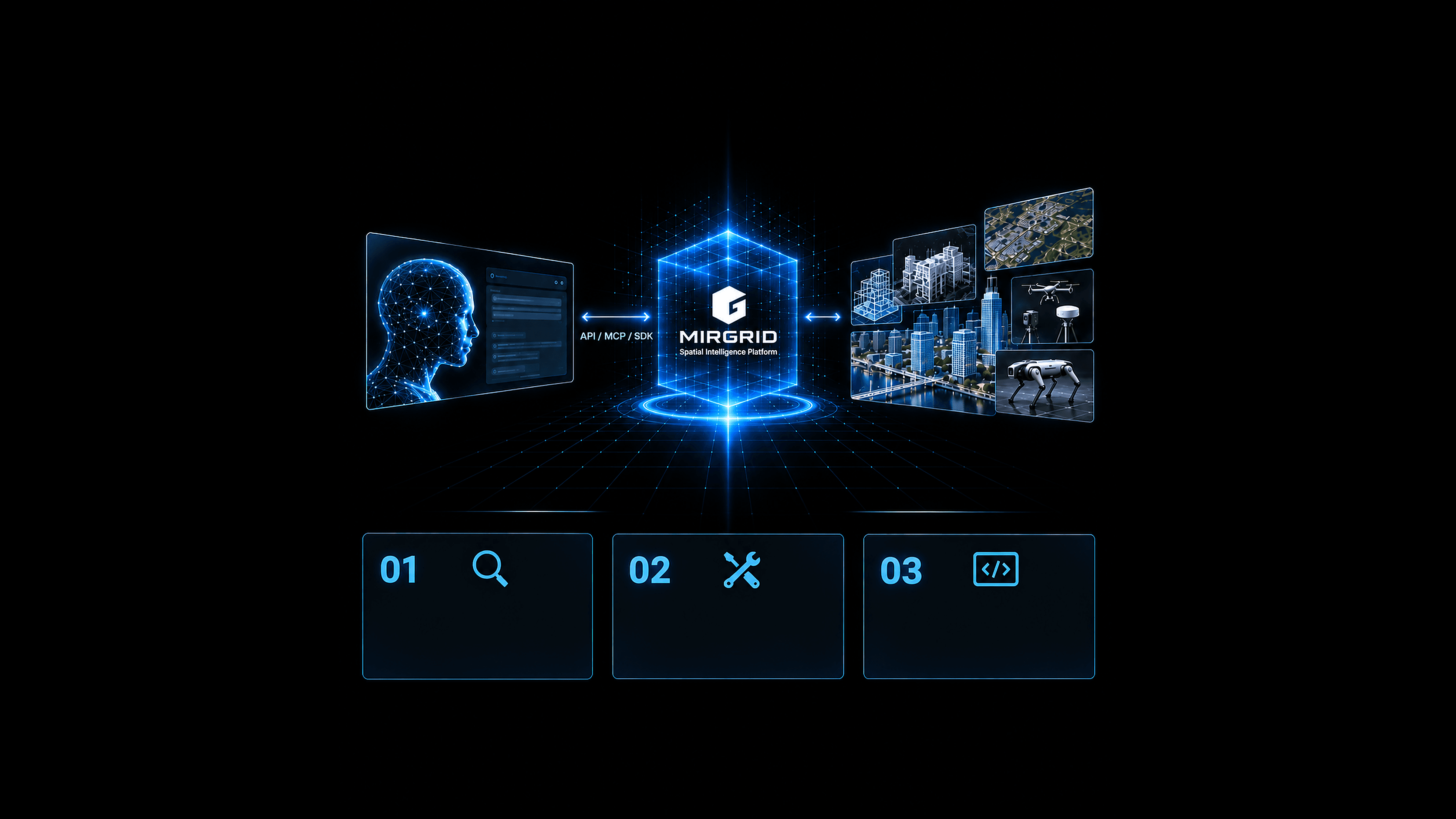
Through MIRGRID, AI can understand and use spatial data such as CAD, BIM/CIM, point clouds, location data and sensors — then build new spatial applications.
AI agents understand MIRGRID, its specifications and capabilities, and autonomously select it as a foundation for spatial processing.
Through MIRGRID, AI accesses diverse spatial data for understanding, analysis, planning and control.
With MIRGRID SDK / API, AI-driven development enables AI itself to build spatial applications and workflows.
BUILD WITH MIRGRID
Define space.
Turn positions, coordinates and spatial data into a common spatial address.

Operate space.
Search, transform, compute and connect through spatial addresses.
Synchronize real and digital.
Connect changes in the physical world to digital space.

Connect AI to physical space.
Enable AI agents to use spatial data and MIRGRID capabilities.
USE CASES

Integrate BIM/CIM, point clouds, and field data to improve construction, inspection, and infrastructure maintenance workflows.

Connect equipment, facilities, sensors, and spatial information to support smarter industrial operations.
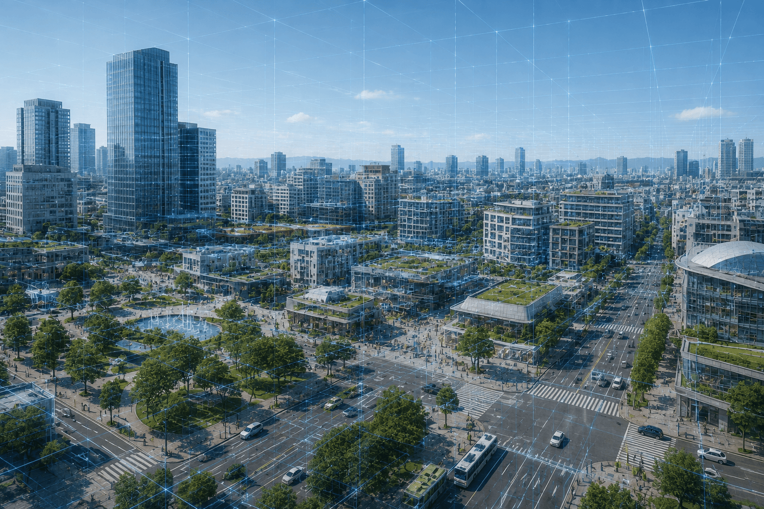
Integrate urban spatial data to support city planning, infrastructure management, disaster prevention, and new digital services.

Enable robots and autonomous systems to understand shared spatial environments and operate using a common spatial reference.
NEXT STEP
Talk to us about MIRGRID adoption, PoCs, SDK use, or collaboration.
CONTACT